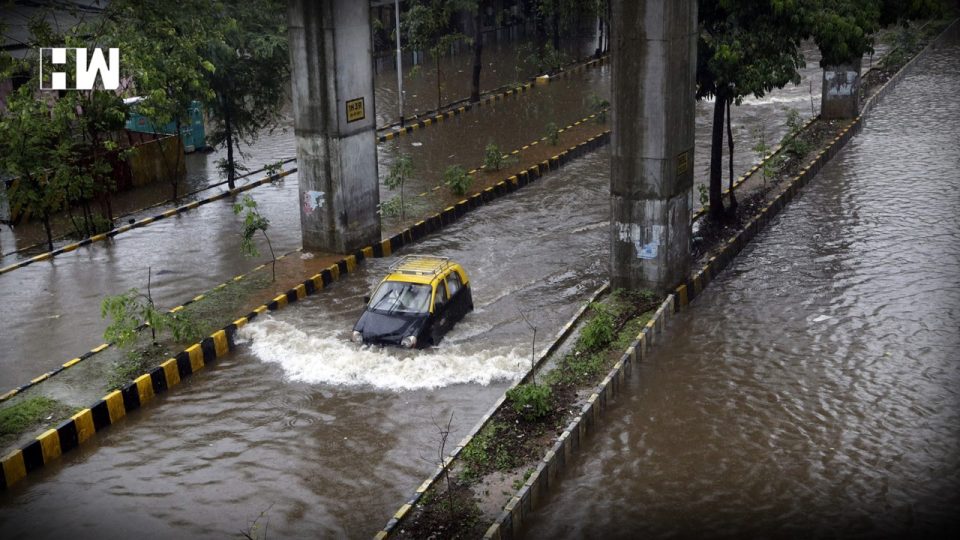
All environmental conditions are favourable for intensification of the low-pressure area into a cyclone
MUMBAI| On Sunday the India Meteorological Department (IMD) said, Maharashtra and Gujarat are on a pre-cyclone alert as a low-pressure area over the southeast and adjoining east-central Arabian Sea is likely to concentrate into a depression during the next 24 hours and likely to intensify into the cyclonic storm “Nisarga” in the subsequent 24 hours.
On Sunday the low pressure area formed in the morning around 5.30 am. All environmental conditions are favourable for intensification of the low-pressure area into a cyclone but IMD will release the intensity and likely impact of Nisarga (if formed) once they have clearer pictures from the models.
The cyclonic storm once formed is very likely to move northwards till June 2 morning and then recurve north-northeastwards and reach near north Maharashtra and south Gujarat coasts around June 3 morning.
Under the influence of the storm, light to moderate rainfall at most places with isolated heavy to very heavy falls are very likely over Lakshadweep area, Kerala and coastal Karnataka on May 31 and June 1. Heavy and extremely heavy rainfall is likely over south Gujarat, north Konkan, Madhya Maharashtra, Daman, Diu, Dadra & Nagar Haveli on June 3 and 4.
Sunita Devi in charge of the cyclone at IMD said, “We are expecting rapid intensification of the cyclone, once formed because sea surface temperature is high, wind shear is low and ocean heat potential is also high. We want the state governments to be alert. But we cannot give the intensity of the cyclone now because models may not be able to simulate accurately immediately. We will give the details as soon as possible.”
She further added, “The sea surface temperature in parts of Arabian Sea is 31 degrees C compared to a normal of 28 degrees C expected during this season. “Maharashtra and Gujarat can expect very heavy rainfall with extremely heavy rainfall in some areas.”
Gala wind speed reaching 65-75 kmph gusting to 85 kmph over the east-central Arabian Sea and along and off Karnataka south Maharashtra coasts are likely from June 2 morning and further becoming 90- 100 kmph gusting 110 kmph over east-central and northeast Arabian Sea along and off Maharashtra and Gujarat coasts from June 3 morning.
Fishermen have been advised not to venture into the southeast Arabian Sea, Lakshadweep area and along and off Kerala coast till June 2; east-central Arabian Sea and along and off Karnataka coast till June 3, the east-central Arabian Sea along and off Maharashtra coast and the northeast Arabian Sea along and off Gujarat coast during June 3 and 4. Fishermen out at sea are advised to return to coasts by today May 31.
As an independent media platform, we do not take advertisements from governments and corporate houses. It is you, our readers, who have supported us on our journey to do honest and unbiased journalism. Please contribute, so that we can continue to do the same in future.

